Guatemala (departement)
departement i Guatemala
Guatemala är ett departement i sydvästra Guatemala. Departementet hade 2 541 581 invånare 2002, och en area på 2 126 km². Det gränsar till departementet Baja Verapaz i norr, till El Progreso i nordöst, till Jalapa i öst, till Santa Rosa i sydöst, till Escuintla i sydväst och till Sacatepéquez och Chimaltenango i väst. Residensstad är Guatemala City.
| Guatemala | |||
| Departamento de Guatemala | |||
| Departement | |||
|
|||
| Land | |||
|---|---|---|---|
| Höjdläge | 1 443 m ö.h. | ||
| Koordinater | 14°40′00″N 90°30′00″V / 14.66667°N 90.5°V | ||
| Guatemala City | |||
| Area | 2 126,00 km² | ||
| Folkmängd | 2 541 581från eswiki | ||
| Befolkningstäthet | 1 195 invånare/km² | ||
| Tidszon | CST (UTC-6) | ||
| ISO 3166-2-kod | GT-01 | ||
| Geonames | 3595530 | ||
|
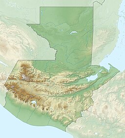
Läge i Guatemala
| |||
Administrativ indelning
redigeraDepartementet består av 17 kommuner:
| Kommun | Areal (km²)[1] | Invånarantal 2002[1] |
|---|---|---|
| Municipio de Amatitlán | 204 | 82 870 |
| Municipio de Chinautla | 80 | 95 312 |
| Municipio de Chuarrancho | 98 | 10 101 |
| Municipio de Guatemala | 184 | 942 348 |
| Municipio de Fraijanes | 96 | 30 701 |
| Municipio de Mixco | 132 | 403 689 |
| Municipio de Palencia | 196 | 47 705 |
| Municipio de San José del Golfo | 84 | 5 156 |
| Municipio de San José Pinula | 220 | 47 278 |
| Municipio de San Juan Sacatepequez | 242 | 152 583 |
| Municipio de Petapa | 30 | 101 242 |
| Municipio de San Pedro Ayampuc | 73 | 44 996 |
| Municipio de San Pedro Sacatepequez | 48 | 31 503 |
| Municipio de San Raimundo | 114 | 22 615 |
| Municipio de Santa Catarina Pinula | 51 | 63 767 |
| Municipio de Villa Canales | 160 | 103 814 |
| Municipio de Villa Nueva | 114 | 355 901 |
| Totalt | 2 126 | 2 541 581 |
Källor
redigera- Den här artikeln är helt eller delvis baserad på material från norska Wikipedia (bokmål/riksmål), 18 februari 2014.
Fotnoter
redigera- ^ [a b] GeoHive; Guatemala, administrative units Arkiverad 6 december 2016 hämtat från the Wayback Machine. hämtdatum: 15 december 2012.


