Fil:SWE-Map Län,1997.svg

Storleken för denna PNG-förhandsvisning av denna SVG-fil: 263 × 599 pixlar. Andra upplösningar: 105 × 240 pixlar | 211 × 480 pixlar | 337 × 768 pixlar | 450 × 1 024 pixlar | 900 × 2 048 pixlar | 290 × 660 pixlar.
Originalfil (SVG-fil, standardstorlek: 290 × 660 pixlar, filstorlek: 54 kbyte)
| Denna fil tillhandahålls av Wikimedia Commons. Informationen nedan är kopierad från dess filbeskrivningssida. |
| Beskrivning |
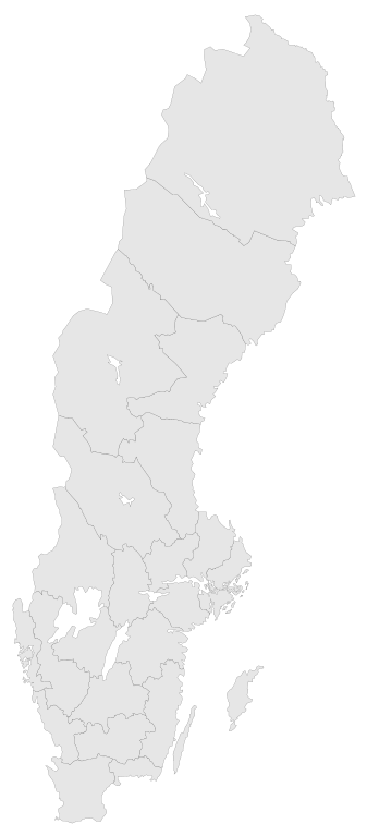
English: A blank map of the Counties of Sweden 1997-1997. The map has all paths tagged (CSS compatible) by the County Codes.
In 1998 Göteborgs och Bohus, Skaraborg and Älvsborg county merged to form Västra Götaland County. For info on how to easiest edit the map see SWE-Map DocumentationSvenska: En tom karta över Sveriges län 1997-1997.
1998 slogs Göteborgs och Bohus, Skaraborgs och Älvsborgs län ihop till Västra Götalands län. För information om hur kartan lättast modifieras se SWE-Map Documentation |
| Datum | |
| Källa |
The map was edited and modified by Lokal_Profil from SWE-Map Kommuner.svg.
|
| Skapare | Lokal_Profil |
| Tillstånd (Återanvändning av denna fil) |
Denna fil har gjorts tillgänglig under licensen Creative Commons Erkännande-Dela Lika 2.5 Generisk Erkännande: Lokal_Profil
SCB allow free use (including commercial use and derivative work) of their map data, see below permission for confirmation |
| Andra versioner |
|


Filhistorik
Klicka på ett datum/klockslag för att se filen som den såg ut då.
| Datum/Tid | Miniatyrbild | Dimensioner | Användare | Kommentar | |
|---|---|---|---|---|---|
| nuvarande | 2 maj 2010 kl. 03.42 | | 290 × 660 (54 kbyte) | Lokal Profil | Need to save changes BEFORE uploading |
| 2 maj 2010 kl. 03.39 |  | 290 × 660 (54 kbyte) | Lokal Profil | Minor correction | |
| 1 maj 2010 kl. 20.46 |  | 290 × 660 (54 kbyte) | Lokal Profil | {{Information |Description={{en|A blank map of the Counties of Sweden 1997-1997. The map has all paths tagged (CSS compatible) by the County Codes. In 1998 Göteborgs och Bohus, Skaraborg and Älvsborg county merged to form [[:Category:Västra Götalands |
Filanvändning
Inga sidor använder den här filen.