Fil:SD-CountyMap.jpg
Storlek på förhandsvisningen: 800 × 490 pixlar. Andra upplösningar: 320 × 196 pixlar | 640 × 392 pixlar | 847 × 519 pixlar.
Originalfil (847 × 519 pixlar, filstorlek: 61 kbyte, MIME-typ: image/jpeg)
| Denna fil tillhandahålls av Wikimedia Commons. Informationen nedan är kopierad från dess filbeskrivningssida. |
Sammanfattning
| Beskrivning |
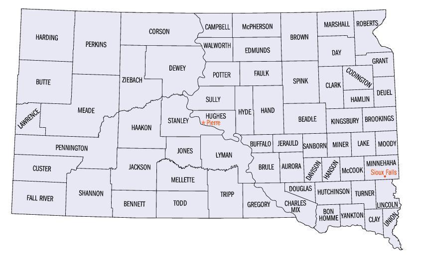
English: Map of South Dakota counties. |
| Källa | https://web.archive.org/web/20050204100123/http://www.fedstats.gov/qf/maps/south_dakota_map.html |
| Skapare | United States Census Bureau |


Licensiering
This image or file is a work of a United States Census Bureau employee, taken or made as part of that person's official duties. As a work of the U.S. federal government, the image is in the public domain.
|
 |
Filhistorik
Klicka på ett datum/klockslag för att se filen som den såg ut då.
| Datum/Tid | Miniatyrbild | Dimensioner | Användare | Kommentar | |
|---|---|---|---|---|---|
| nuvarande | 13 oktober 2006 kl. 23.07 | | 847 × 519 (61 kbyte) | JosN | Map of South Dakota counties. |
Filanvändning
Följande sida använder den här filen:
Global filanvändning
Följande andra wikier använder denna fil:
- Användande på en.wikipedia.org
- Användande på es.wikipedia.org
- Användande på fr.wikipedia.org
- Användande på he.wikipedia.org
- Användande på it.wikipedia.org
- Användande på ja.wikipedia.org
- Användande på nds.wikipedia.org
- Användande på nl.wikipedia.org
- Användande på pt.wikipedia.org
- Användande på ro.wikipedia.org
- Användande på sq.wikipedia.org