Fil:Mapa de localització a la CCAA de Catalunya.svg

Storleken för denna PNG-förhandsvisning av denna SVG-fil: 596 × 600 pixlar. Andra upplösningar: 239 × 240 pixlar | 477 × 480 pixlar | 764 × 768 pixlar | 1 018 × 1 024 pixlar | 2 036 × 2 048 pixlar | 850 × 855 pixlar.
Originalfil (SVG-fil, standardstorlek: 850 × 855 pixlar, filstorlek: 762 kbyte)
| Denna fil tillhandahålls av Wikimedia Commons. Informationen nedan är kopierad från dess filbeskrivningssida. |
| Beskrivning |
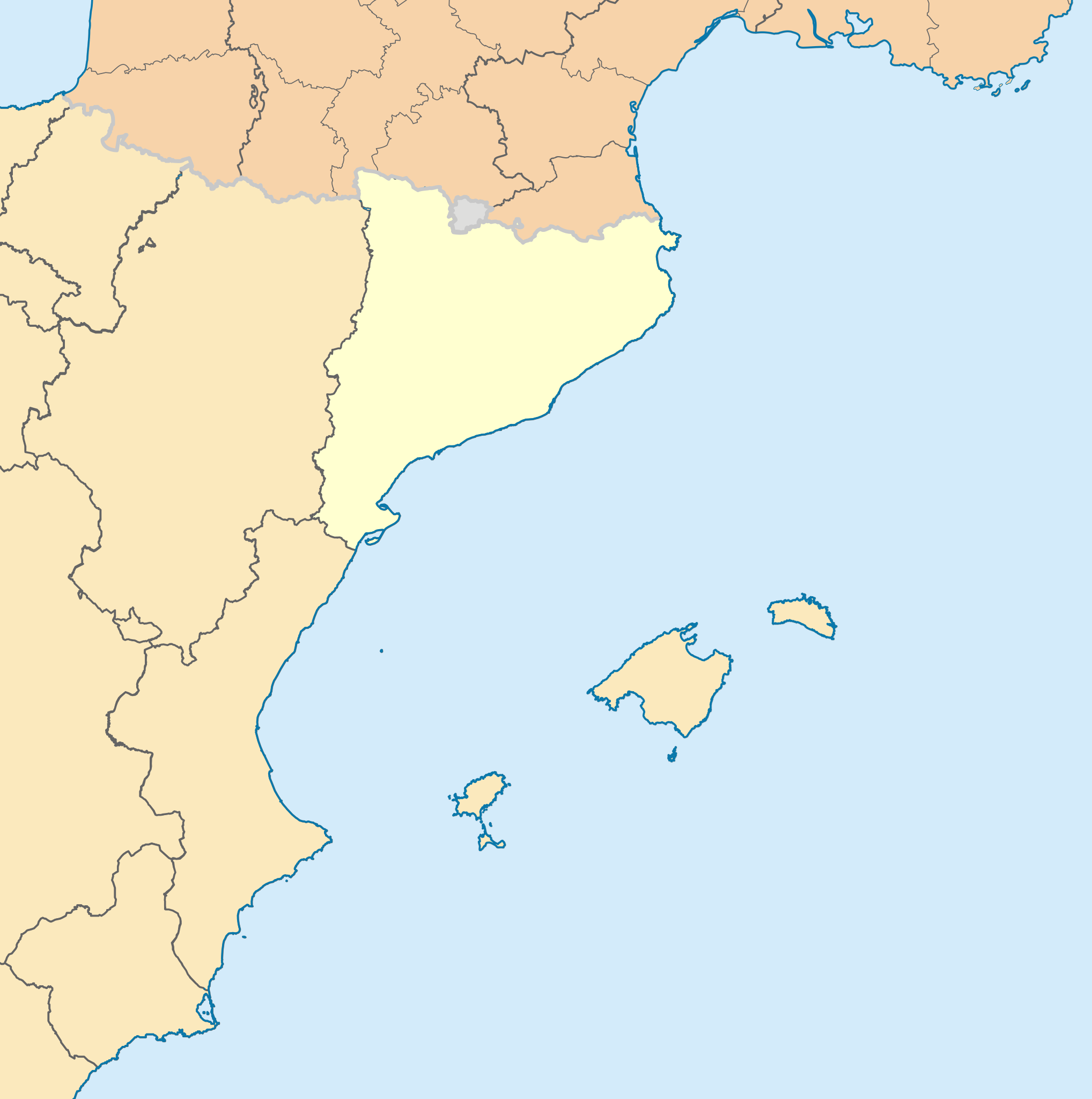
English: Blank administrative map of nord-est Spain for geo-location purpose, with regions. Approximate scale : 1:3,000,000 Français : Carte administrative vierge du nord-est de l'Espagne destinée à la géolocalisation, avec contour des régions. Equirectangular projection, WGS84 datumÉchelle approximative : 1:3 000 000 *Central meridian: 002° 06' E *True scale parallel: 46° 15' N Geographic limits of the map : *West : 005° 48' W *East : 10° E *North : 51° 30' N *South : 41° N Català: Mapa de les comunitats autònomes d'Espanya. |
| Datum | (UTC) |
| Källa | |
| Skapare |
|
Denna fil har gjorts tillgänglig under licensen Creative Commons Erkännande-Dela Lika 3.0 Generisk
- Du är fri:
- att dela – att kopiera, distribuera och sända verket
- att remixa – att skapa bearbetningar
- På följande villkor:
- erkännande – Du måste ge lämpligt erkännande, ange en länk till licensen och indikera om ändringar har gjorts. Du får göra det på ett lämpligt sätt, men inte på ett sätt som antyder att licensgivaren stödjer dig eller din användning.
- dela lika – Om du remixar, transformerar eller bygger vidare på materialet måste du distribuera dina bidrag under samma eller en kompatibel licens som originalet.
Ursprunglig uppladdningslogg
This image is a derivative work of the following images:
- File:France_location_map-Regions_and_departements.svg licensed with Cc-by-sa-3.0,2.5,2.0,1.0, GFDL
- 2009-02-02T16:12:50Z Yug 2000x1922 (772026 Bytes) Restore light style version ; a specific file name will be use for polygon departement maps.
- 2009-02-01T19:34:09Z Yug 2000x1922 (1849428 Bytes) restore East and southern border deleted by mistake + code improving.
- 2009-02-01T14:41:40Z Yug 2000x1922 (1852045 Bytes) Statistic friendly added, as an upper layer.
- 2008-11-07T13:23:10Z Sting 2000x1922 (772026 Bytes) + boundary for Channel Islands
- 2008-08-23T16:29:48Z Sting 2000x1922 (769918 Bytes) Larger strokes for boundaries
- 2008-07-25T17:35:54Z Sting 2000x1922 (770878 Bytes) Display bug
- 2008-07-25T17:28:38Z Sting 2000x1922 (772649 Bytes) Variable scale
- 2008-07-25T14:29:27Z Sting 2000x1922 (773101 Bytes) - border
- 2008-07-25T14:23:11Z Sting 2000x1922 (773214 Bytes) Other countries' color
- 2008-07-04T20:32:47Z Sting 2000x1922 (772973 Bytes) == Summary == {{Location|46|15|00|N|02|06|00|E|scale:10000000}} {{Information |Description={{en|Blank administrative map of [[:en:France|France]] for geo-location purpose, with regions and departements distinguished.Approxim
- File:Comunitats_autònomes_d'Espanya.svg licensed with Cc-by-sa-2.5
- 2007-03-02T08:43:02Z Ebrenc 644x458 (501215 Bytes) == Summary == {{Information |Description={{ca}} Mapa de les comunitats autònomes d'Espanya. |Source= [[:Image:Províncies d'Espanya.svg]] i [[:Image:Comunitats Autònomes.png]] |Date= 2 March 2007 |Author= Joan M. Borràs ([
- File:Map_of_Italy_blank.svg licensed with PD-self
- 2009-12-03T19:56:52Z F l a n k e r 1200x1500 (841149 Bytes) Added provinces of Molise
- 2009-12-03T00:15:46Z Vonvikken 1200x1500 (839705 Bytes) Fixed wrong borders between Abruzzo and Molise
- 2007-03-28T11:58:12Z F l a n k e r 1200x1500 (847741 Bytes)
- 2007-01-12T17:56:56Z F l a n k e r 1200x1500 (565393 Bytes)
- 2006-11-19T12:10:47Z F l a n k e r 1200x1500 (572318 Bytes) {{Information |Description=Blank map of Italy, divided in provinces. It can be easily divided even in regions. |Source= |Date=19 Nov. 2006 |Author=F l a n k e r |Permission= |other_versions= }}
Uploaded with derivativeFX
Filhistorik
Klicka på ett datum/klockslag för att se filen som den såg ut då.
| Datum/Tid | Miniatyrbild | Dimensioner | Användare | Kommentar | |
|---|---|---|---|---|---|
| nuvarande | 4 november 2023 kl. 21.16 | | 850 × 855 (762 kbyte) | Lojwe | Removing frame |
| 7 januari 2010 kl. 14.21 |  | 855 × 855 (755 kbyte) | Martorell | Establishing units to pixels instead of mm. | |
| 7 januari 2010 kl. 13.43 |  | 2 565 × 2 565 (598 kbyte) | Martorell | ViewPort established 1:1 to dimensions. | |
| 7 januari 2010 kl. 12.56 |  | 512 × 512 (598 kbyte) | Martorell | No width nor height specified. | |
| 7 januari 2010 kl. 12.54 |  | 256 × 256 (598 kbyte) | Martorell | ViewBox attribute was removed. | |
| 2 januari 2010 kl. 22.04 |  | 256 × 256 (598 kbyte) | Martorell | Added frame border. | |
| 2 januari 2010 kl. 21.56 |  | 256 × 256 (598 kbyte) | Martorell | {{Information |Description={{en|Blank administrative map of France for geo-location purpose, with regions and departements distinguished.<br/>Approximate scale : 1:3,000,000}} {{fr|Carte administrative vierge de la France des |
Filanvändning
Följande sida använder den här filen:
Global filanvändning
Följande andra wikier använder denna fil:
- Användande på ca.wikipedia.org
- Användande på ca.wikinews.org
- Användande på fr.wikipedia.org
- Användande på nds.wiktionary.org