Fil:Map of Illinois highlighting Edwards County.svg

Storleken för denna PNG-förhandsvisning av denna SVG-fil: 336 × 599 pixlar. Andra upplösningar: 134 × 240 pixlar | 269 × 480 pixlar | 430 × 768 pixlar | 574 × 1 024 pixlar | 1 148 × 2 048 pixlar | 3 453 × 6 157 pixlar.
Originalfil (SVG-fil, standardstorlek: 3 453 × 6 157 pixlar, filstorlek: 85 kbyte)
| Denna fil tillhandahålls av Wikimedia Commons. Informationen nedan är kopierad från dess filbeskrivningssida. |
Sammanfattning
| Beskrivning |
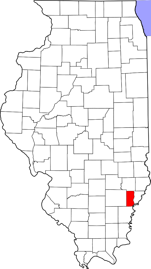
English: This is a locator map showing Edwards County in Illinois. For more information, see Commons:United States county locator maps. |
| Datum | |
| Källa |
Eget arbete: English: The maps use data from nationalatlas.gov, specifically countyp020.tar.gz on the Raw Data Download page. The maps also use state outline data from statesp020.tar.gz. The Florida maps use hydrogm020.tar.gz to display Lake Okeechobee. |
| Skapare | David Benbennick |
Licensiering
| Jag, upphovsrättsinnehavaren till detta verk, släpper detta verk i public domain. Detta gäller globalt. I vissa länder kan detta inte vara juridiskt möjligt; i så fall: Jag ger härmed envar rätten att använda detta verk för alla ändamål, utan några villkor, förutom villkor som lagen ställer. |
Filhistorik
Klicka på ett datum/klockslag för att se filen som den såg ut då.
| Datum/Tid | Miniatyrbild | Dimensioner | Användare | Kommentar | |
|---|---|---|---|---|---|
| nuvarande | 12 februari 2006 kl. 13.34 | | 3 453 × 6 157 (85 kbyte) | David Benbennick | {{subst:User:Dbenbenn/clm|county=Edwards County|state=Illinois}} |
| 12 februari 2006 kl. 13.09 |  | 3 453 × 6 157 (85 kbyte) | David Benbennick | {{subst:User:Dbenbenn/clm|county=Edwards County|state=Illinois}} |
Filanvändning
Följande sida använder den här filen:
Global filanvändning
Följande andra wikier använder denna fil:
- Användande på ar.wikipedia.org
- Användande på be.wikipedia.org
- Användande på bg.wikipedia.org
- Användande på bpy.wikipedia.org
- Användande på ca.wikipedia.org
- Användande på cdo.wikipedia.org
- Användande på ceb.wikipedia.org
- Användande på ce.wikipedia.org
- Användande på cy.wikipedia.org
- Användande på de.wikipedia.org
- Användande på el.wikipedia.org
- Användande på en.wikipedia.org
- List of counties in Illinois
- Edwards County, Illinois
- Albion, Illinois
- Bone Gap, Illinois
- Browns, Illinois
- Grayville, Illinois
- West Salem, Illinois
- Template:Edwards County, Illinois
- Template:EdwardsCountyIL-geo-stub
- Ellery, Illinois
- Samsville, Illinois
- English Settlement (Illinois)
- User:Nyttend/County templates/IL/1
- Albion Precinct, Edwards County, Illinois
- French Creek Precinct, Edwards County, Illinois
- Bennington, Illinois
- Black, Illinois
- Maple Grove, Illinois
- Marion, Edwards County, Illinois
- Red Top, Illinois
- Lexington, Edwards County, Illinois
- Mills Prairie, Illinois
- Piankashawtown, Illinois
Visa mer globalt användande av denna fil.