Fil:Hvo controlled.png
Originalfil (1 220 × 1 100 pixlar, filstorlek: 99 kbyte, MIME-typ: image/png)
| Denna fil tillhandahålls av Wikimedia Commons. Informationen nedan är kopierad från dess filbeskrivningssida. |
Sammanfattning
(
| Beskrivning |
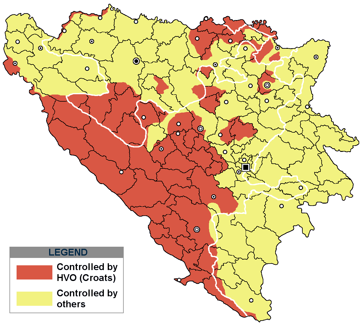
This is an update for the previous map, as the HVO never controlled all parts of municipality of Mostar and Stolac. Also, HVO never controlled neither part of municipalities Nevesinje, Berkovići, Ljubinje and Trebinje.
|
| Datum | |
| Källa | self-made by Nihad Hamzić |
| Skapare | Nihad Hamzic |
}
Licensiering
| Detta verk har gjorts tillgänglig som public domain av dess skapare, I, Nihad Hamzic. Detta gäller globalt. I vissa länder kan detta inte vara juridiskt möjligt; i så fall: I, Nihad Hamzic ger envar rätten att använda detta verk för alla ändamål, utan några villkor, förutom villkor som lagen ställer. |
The original image is here:
http://commons.wikimedia.org/wiki/Image:Hvo_controled.GIF
Check its description for licensing etc.
Filhistorik
Klicka på ett datum/klockslag för att se filen som den såg ut då.
| Datum/Tid | Miniatyrbild | Dimensioner | Användare | Kommentar | |
|---|---|---|---|---|---|
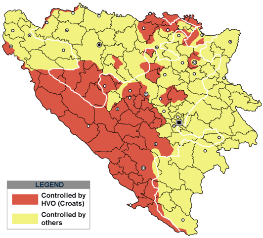
| nuvarande | 29 november 2020 kl. 19.21 | | 1 220 × 1 100 (99 kbyte) | Ceha | Tuzla i Bugojno |
| 28 november 2020 kl. 15.31 |  | 1 220 × 1 100 (98 kbyte) | Ceha | Dodao neke promjene, od Ravne-Brčko, do Ravnog na jugu (operacija Bura https://hr.wikipedia.org/wiki/Operacija_Bura ) | |
| 20 juli 2011 kl. 19.40 |  | 1 220 × 1 100 (48 kbyte) | DIREKTOR | Colors | |
| 11 februari 2009 kl. 11.29 |  | 1 220 × 1 100 (49 kbyte) | Ceha | Corrected errors in Komušina municipality, HVO controled all of Croatian settlments till 10th of August 1991 | |
| 11 augusti 2008 kl. 10.24 |  | 1 220 × 1 100 (49 kbyte) | Mostarac | {{Information |Description=This is an update for the previous map, as the HVO never controlled all parts of municipality of Mostar and Stolac. Also, HVO never controlled neither part of municipalities Nevesinje, Berkovići and Ljubinje. |Source=self-made | |
| 5 januari 2008 kl. 16.33 |  | 1 220 × 1 100 (49 kbyte) | Nihad Hamzic | Added a legend. Also widened the image slightly to match the size of related images. I did not resize it, but added white space at sides. | |
| 17 juli 2007 kl. 12.08 |  | 1 213 × 1 100 (41 kbyte) | Nihad Hamzic | Revised the colors to match (to be uniform) with colors in other related maps. | |
| 16 juli 2007 kl. 00.31 |  | 1 213 × 1 100 (41 kbyte) | Nihad Hamzic | {{Information |Description=BiH territories which were controlled by HVO and regular Croatian Army for some time during the war. <br /> <br /> NOTICE:<br /> This image is a greatly optimised PNG version of the original GIF version of the image. Color dihte |
Filanvändning
Följande sida använder den här filen:
Global filanvändning
Följande andra wikier använder denna fil:
- Användande på ar.wikipedia.org
- Användande på ast.wikipedia.org
- Användande på bs.wikipedia.org
- Användande på ca.wikipedia.org
- Användande på cs.wikipedia.org
- Användande på de.wikipedia.org
- Användande på es.wikipedia.org
- Användande på eu.wikipedia.org
- Användande på fr.wikipedia.org
- Användande på gl.wikipedia.org
- Användande på hy.wikipedia.org
- Användande på hyw.wikipedia.org
- Användande på it.wikipedia.org
- Användande på pnb.wikipedia.org
- Användande på pt.wikipedia.org
- Användande på ru.wikipedia.org
- Användande på sr.wikipedia.org
- Användande på vi.wikipedia.org