Fil:Žilina Region demis background map.png
Storlek på förhandsvisningen: 778 × 600 pixlar. Andra upplösningar: 312 × 240 pixlar | 623 × 480 pixlar | 996 × 768 pixlar | 1 280 × 987 pixlar | 1 357 × 1 046 pixlar.
Originalfil (1 357 × 1 046 pixlar, filstorlek: 1,18 Mbyte, MIME-typ: image/png)
| Denna fil tillhandahålls av Wikimedia Commons. Informationen nedan är kopierad från dess filbeskrivningssida. |
Sammanfattning
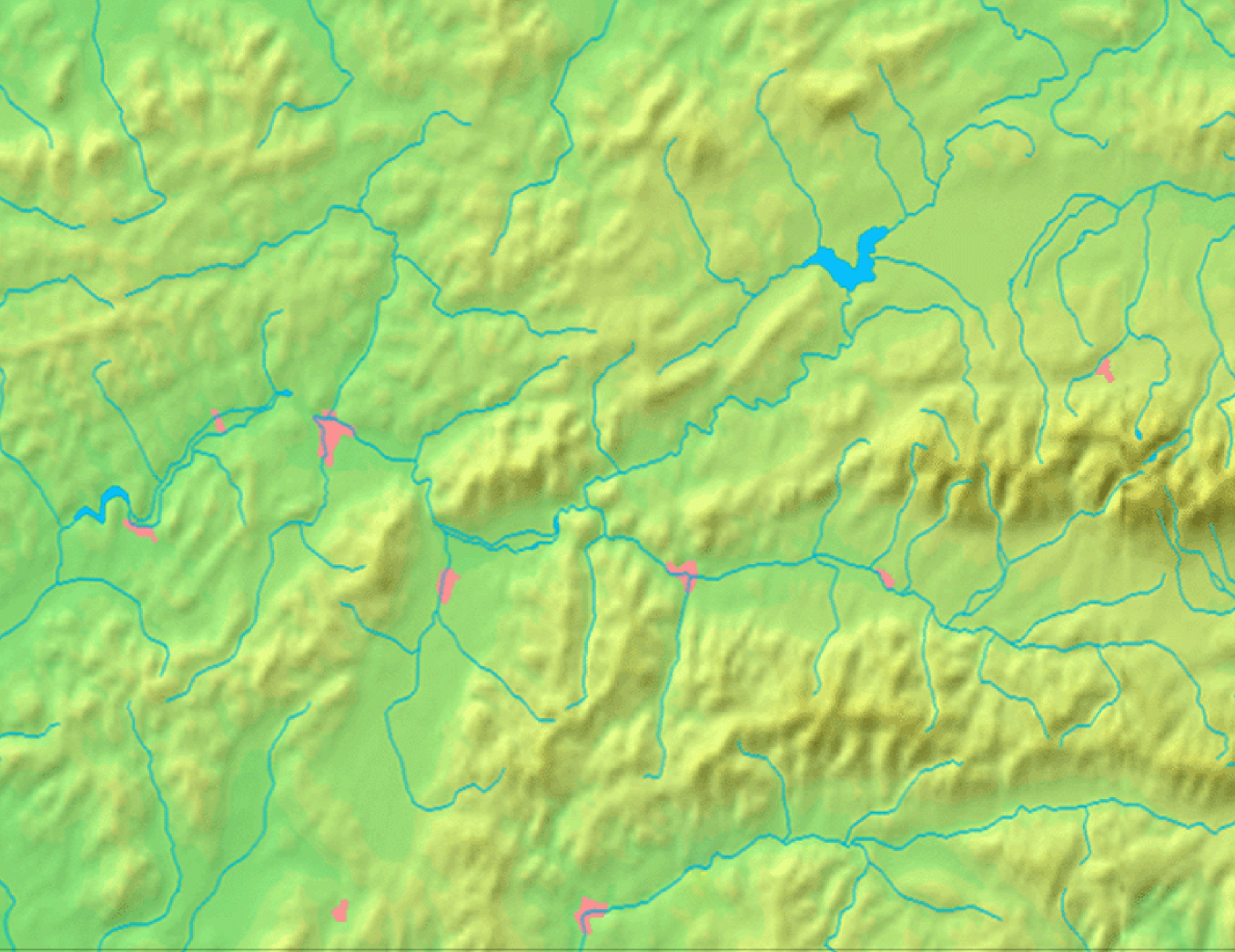
| Beskrivning | Background map of the Žilina Region, Slovakia, the same boundaries as Image:Žilina Region with districts map.svg | ||||
| Datum | |||||
| Källa | Made my myself from free maps available at www.demis.nl | ||||
| Skapare | Caroig | ||||
| Tillstånd (Återanvändning av denna fil) |
|
Filhistorik
Klicka på ett datum/klockslag för att se filen som den såg ut då.
| Datum/Tid | Miniatyrbild | Dimensioner | Användare | Kommentar | |
|---|---|---|---|---|---|
| nuvarande | 3 september 2007 kl. 10.40 | | 1 357 × 1 046 (1,18 Mbyte) | Caroig | == Summary == {{Information |Description=Background map of the Žilina Region, Slovakia, the same boundaries as Image:Žilina Region with districts map.png |SourceMade my myself from free maps available at www.demis.nl |Date=2007-09-03 |Author=[[:en: |
Filanvändning
Inga sidor använder den här filen.