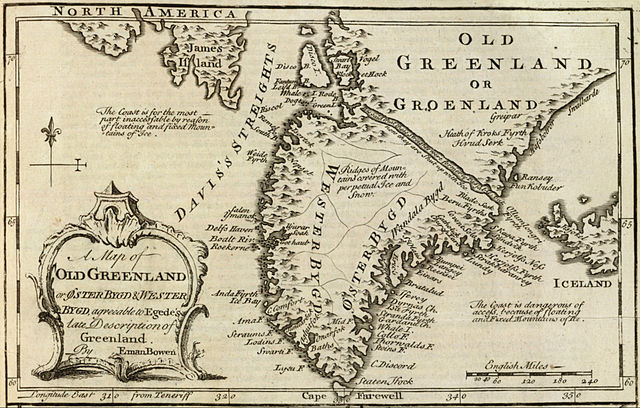
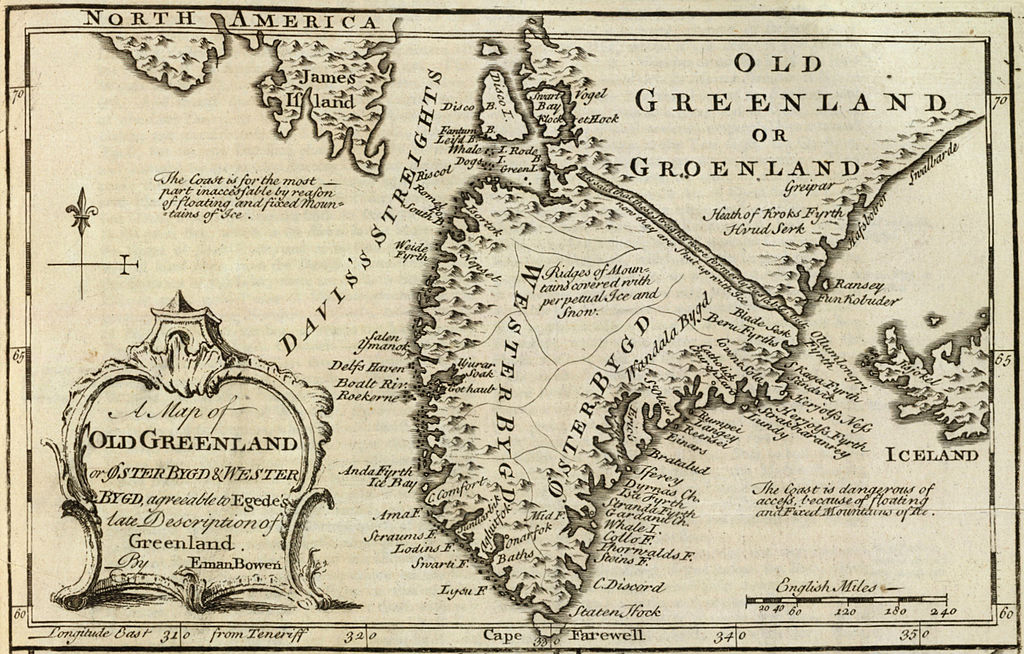
Fil:Old Greenland 1747.jpg

Originalfil (2 048 × 1 307 pixlar, filstorlek: 2,23 Mbyte, MIME-typ: image/jpeg)
| Denna fil tillhandahålls av Wikimedia Commons. Informationen nedan är kopierad från dess filbeskrivningssida. |
Sammanfattning
| Beskrivning |
English: Cropped and rotated from the original.
|
| Datum | |
| Källa | David Rumsey Collection |
| Skapare | Emanuel Bowen (c. 1694–1767) |
Licensiering
|
Denna bild avbildar ett tvådimensionellt konstverk. Konstverket är självt i public domain av följande anledning:
Reproduktioner av tvådimensionella verk får inte egen upphovsrätt i USA enligt domen i Bridgeman Art Library v. Corel Corp. Wikimedia Foundation anser att en annan tolkning av upphovsrätten skulle innebära ett angrepp på begreppet ”public domain”, varför också denna fotografiska avbildning bör anses vara i ”public domain”. Se Commons:When to use the PD-Art tag#Other countries. Märk att lokala lagar kan hindra användande av bilden. Se Commons:Reuse of PD-Art photographs.
| ||||
Filhistorik
Klicka på ett datum/klockslag för att se filen som den såg ut då.
| Datum/Tid | Miniatyrbild | Dimensioner | Användare | Kommentar | |
|---|---|---|---|---|---|
| nuvarande | 10 maj 2012 kl. 17.21 | | 2 048 × 1 307 (2,23 Mbyte) | LlywelynII |
Filanvändning
Följande 2 sidor använder den här filen:
Global filanvändning
Följande andra wikier använder denna fil:
- Användande på af.wikipedia.org
- Användande på ar.wikipedia.org
- Användande på bs.wikipedia.org
- Användande på ca.wikipedia.org
- Användande på ceb.wikipedia.org
- Användande på cs.wikipedia.org
- Användande på en.wikipedia.org
- Användande på es.wikipedia.org
- Användande på fa.wikipedia.org
- Användande på fy.wikipedia.org
- Användande på io.wikipedia.org
- Användande på ko.wikipedia.org
- Användande på pt.wikipedia.org
- Användande på te.wikipedia.org
- Användande på tr.wikipedia.org
- Användande på uk.wikipedia.org
- Användande på www.wikidata.org
- Användande på zh.wikipedia.org