Fil:Fishermans Wharf aerial view.jpg

Storlek på förhandsvisningen: 800 × 534 pixlar. Andra upplösningar: 320 × 214 pixlar | 640 × 427 pixlar | 1 024 × 683 pixlar | 1 500 × 1 001 pixlar.
Originalfil (1 500 × 1 001 pixlar, filstorlek: 639 kbyte, MIME-typ: image/jpeg)
| Denna fil tillhandahålls av Wikimedia Commons. Informationen nedan är kopierad från dess filbeskrivningssida. |
| Beskrivning |
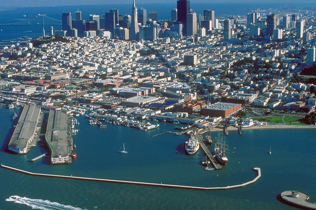
English: Aerial view of Fisherman's Wharf on San Francisco Bay on the north side of San Francisco, California, USA. View is to the southeast.
Coordinates: 37°48′35.83″N 122°25′11.27″W / 37.8099528°N 122.4197972°W |
|||
| Plats | San Francisco, California, USA | |||
| Datum | not specified or unknown | |||
| Källa |
U.S. Army Corps of Engineers Digital Visual Library Image page Image description page Digital Visual Library home page |
|||
| Skapare | U.S. Army Corps of Engineers, photographer not specified or unknown | |||
| Tillstånd (Återanvändning av denna fil) |
|
Filhistorik
Klicka på ett datum/klockslag för att se filen som den såg ut då.
| Datum/Tid | Miniatyrbild | Dimensioner | Användare | Kommentar | |
|---|---|---|---|---|---|
| nuvarande | 4 maj 2007 kl. 05.49 | | 1 500 × 1 001 (639 kbyte) | DanMS | {{Information | Description = {{en|Aerial view of Fisherman's Wharf on San Francisco Bay on the north side of San Francisco, California, USA. View is to the southeast.}} Coordinates: {{Coor dms|37|48|35.83|N|122|25|11.27|W|type:city|display=inline}} | |
Filanvändning
Följande sida använder den här filen:
Global filanvändning
Följande andra wikier använder denna fil:
- Användande på ar.wikipedia.org
- Användande på bg.wikipedia.org
- Användande på de.wikipedia.org
- Användande på de.wikivoyage.org
- Användande på en.wikipedia.org
- Användande på es.wikipedia.org
- Användande på eu.wikipedia.org
- Användande på fi.wikipedia.org
- Användande på fr.wikipedia.org
- Användande på he.wikivoyage.org
- Användande på hr.wikipedia.org
- Användande på hy.wikipedia.org
- Användande på it.wikinews.org
- Användande på ja.wikipedia.org
- Användande på no.wikipedia.org
- Användande på pt.wikipedia.org
- Användande på ru.wikipedia.org
- Användande på uk.wikipedia.org
- Användande på vi.wikipedia.org
- Användande på www.wikidata.org
- Användande på zh.wikipedia.org