Fil:Banská Bystrica Region - background map.png

Storlek på förhandsvisningen: 800 × 549 pixlar. Andra upplösningar: 320 × 219 pixlar | 640 × 439 pixlar | 1 024 × 702 pixlar | 1 400 × 960 pixlar.
Originalfil (1 400 × 960 pixlar, filstorlek: 1,44 Mbyte, MIME-typ: image/png)
| Denna fil tillhandahålls av Wikimedia Commons. Informationen nedan är kopierad från dess filbeskrivningssida. |
Sammanfattning
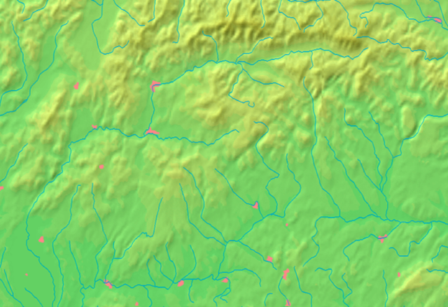
| Beskrivning | Background map of the Banská Bystrica Region, Slovakia, ready for the Geobox template, calibrated at en:Template:Geobox locator Banská Bystrica Region |
| Datum | |
| Källa | Made my myself from free maps available at www.demis.nl |
| Skapare | Caroig |
| Andra versioner | Derivative works of this file: Banská Bystrica Region - physical map.png |
Licensiering
This image is in the public domain because it came from the site https://www.demis.nl/products/web-map-server/examples/ and was released by the copyright holder. Permission is granted to copy, distribute and/or modify this map since it is based on free of copyright images from: www.demis.nl. See also approval email on de.wp and its clarification.
|
| This work has been released into the public domain by its copyright holder, www.demis.nl. This applies worldwide. I vissa länder kan detta inte vara juridiskt möjligt; i så fall: www.demis.nl ger envar rätten att använda detta verk för alla ändamål, utan några villkor, förutom villkor som lagen ställer.
|
Filhistorik
Klicka på ett datum/klockslag för att se filen som den såg ut då.
| Datum/Tid | Miniatyrbild | Dimensioner | Användare | Kommentar | |
|---|---|---|---|---|---|
| nuvarande | 27 oktober 2007 kl. 09.23 | | 1 400 × 960 (1,44 Mbyte) | Caroig | == Summary == {{Information |Description=Background map of the Banská Bystrica Region, Slovakia, ready for the Geobox template, calibrated at en:Template:Geobox locator Banská Bystrica Region |Source=Made my myself from free |
Filanvändning
Global filanvändning
Följande andra wikier använder denna fil:
- Användande på en.wikipedia.org
- Användande på fa.wikipedia.org
- Användande på fr.wikipedia.org
- Användande på ja.wikipedia.org
- Användande på mk.wikipedia.org
- Användande på sco.wikipedia.org
- Användande på simple.wikipedia.org
- Användande på si.wikipedia.org
- Användande på sk.wikipedia.org
Visa mer globalt användande av denna fil.