Fil:Wfm loch leven.png
Storlek på förhandsvisningen: 800 × 593 pixlar. Andra upplösningar: 320 × 237 pixlar | 640 × 474 pixlar | 1 024 × 758 pixlar | 1 280 × 948 pixlar.
Originalfil (1 280 × 948 pixlar, filstorlek: 2,37 Mbyte, MIME-typ: image/png)
| Denna fil tillhandahålls av Wikimedia Commons. Informationen nedan är kopierad från dess filbeskrivningssida. |
| Beskrivning |
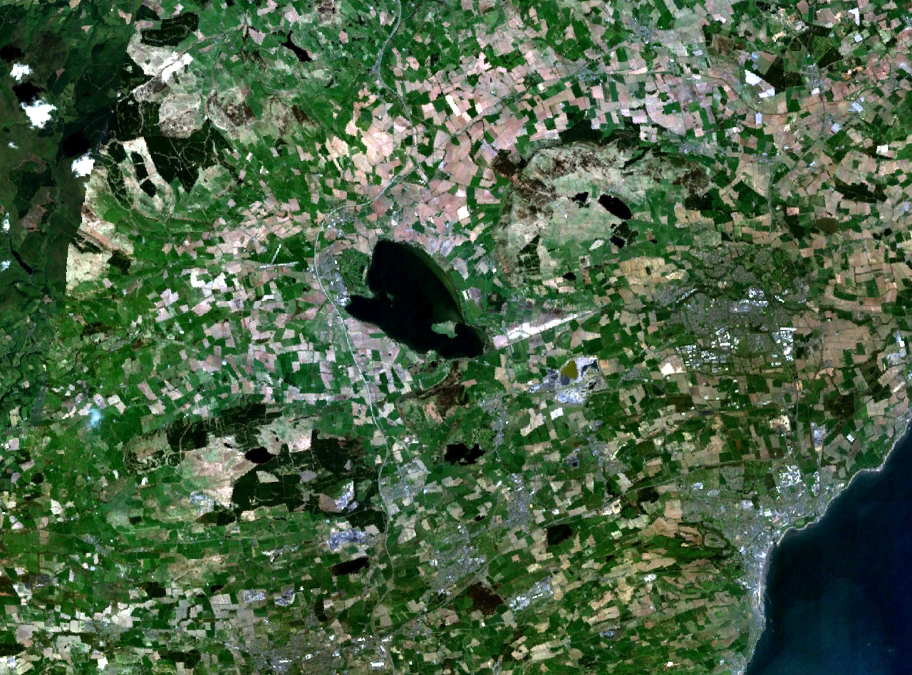
Loch Leven and central Fife in Scotland. Kirkcaldy is visible on the coast to the southeast, Glenrothes to the east, and part of Dunfermline to the south. The M90 motorway runs to the west, through Kinross and past Milnathort. |
|||
| Datum | Okänt datum (montage of various photgraphs) | |||
| Källa | NASA World Wind | |||
| Skapare | NASA Landsat | |||
| Tillstånd (Återanvändning av denna fil) |
|

Filhistorik
Klicka på ett datum/klockslag för att se filen som den såg ut då.
| Datum/Tid | Miniatyrbild | Dimensioner | Användare | Kommentar | |
|---|---|---|---|---|---|
| nuvarande | 16 april 2006 kl. 19.37 | | 1 280 × 948 (2,37 Mbyte) | Finlay McWalter | {{Information| |Description=Loch Leven and western Fife in Scotland |Source=NASA World Wind |Date=unknown (montage of various photgraphs) |Author=NASA Landsat |Permission={{PD-WorldWind}} |other_versions= }} |
Filanvändning
Följande sida använder den här filen:
Global filanvändning
Följande andra wikier använder denna fil:
- Användande på af.wikipedia.org
- Användande på de.wikipedia.org
- Användande på en.wikipedia.org
- Användande på eu.wikipedia.org
- Användande på fr.wikipedia.org
- Användande på no.wikipedia.org
- Användande på ru.wikipedia.org
- Användande på uk.wikipedia.org