Fil:ReliefUSA map.gif
Det finns ingen version med högre upplösning.
ReliefUSA_map.gif (714 × 496 pixlar, filstorlek: 228 kbyte, MIME-typ: image/gif)
| Denna fil tillhandahålls av Wikimedia Commons. Informationen nedan är kopierad från dess filbeskrivningssida. |
Sammanfattning
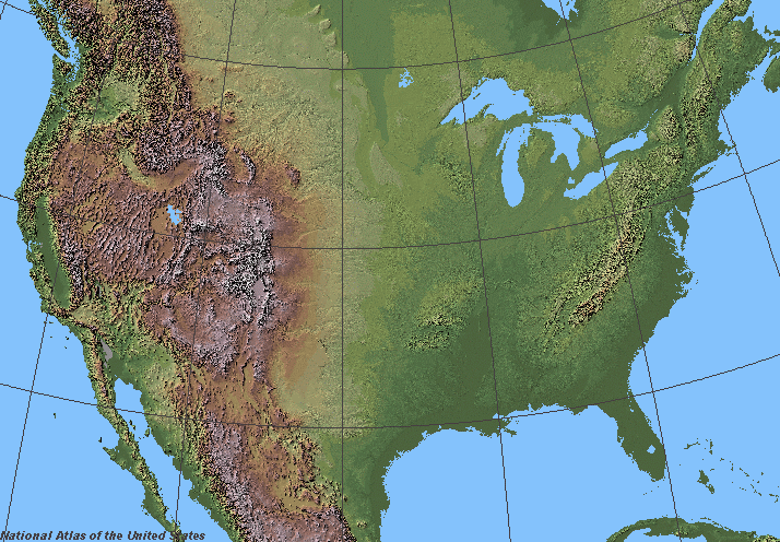
Shaded relief in the lower 48 states of the United States of America.
Licensiering
This map was obtained from an edition of the National Atlas of the United States. Like almost all works of the U.S. federal government, works from the National Atlas are in the public domain in the United States.
Online access: NationalAtlas.gov | 1970 print edition: Library of Congress, Perry-Castañeda Library
|
derivative works
Filer som bygger på denna fil:
Filhistorik
Klicka på ett datum/klockslag för att se filen som den såg ut då.
| Datum/Tid | Miniatyrbild | Dimensioner | Användare | Kommentar | |
|---|---|---|---|---|---|
| nuvarande | 5 juni 2006 kl. 08.07 | | 714 × 496 (228 kbyte) | Urban~commonswiki | ==Description== Shaded relief in the lower 48 states of the United States of America. ==License== {{PD-USGov-Atlas}} |
Filanvändning
Inga sidor använder den här filen.
Global filanvändning
Följande andra wikier använder denna fil:
- Användande på fr.wikipedia.org
- Wikipédia:Wikiconcours/mars 2008/Équipes
- Discussion Wikipédia:Wikiconcours/mars 2008/Équipes/Équipe 10
- Discussion Wikipédia:Wikiconcours/mars 2008/Équipes/Équipe 10/Mammoth
- Discussion Wikipédia:Wikiconcours/mars 2008/Équipes/Équipe 10/Denver
- Discussion Wikipédia:Wikiconcours/mars 2008/Équipes/Équipe 10/Baltimore
- Discussion Wikipédia:Wikiconcours/mars 2008/Équipes/Équipe 10/Glacier
- Discussion Wikipédia:Wikiconcours/mars 2008/Équipes/Équipe 10/Modèle
- Discussion Wikipédia:Wikiconcours/mars 2008/Équipes/Équipe 10/Louisville
- Användande på sco.wikipedia.org
- Användande på sl.wikipedia.org